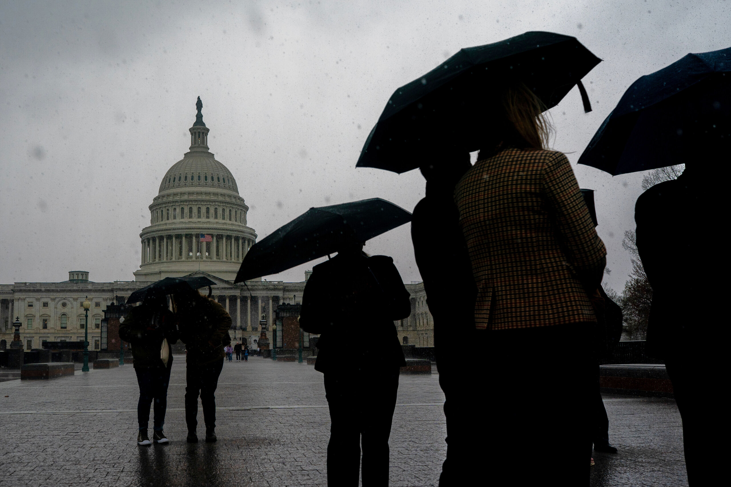
A few isolated storms and showers are popping up in parts of the D.C. region, some bringing along blustery winds and hail, to cap off a sweltering Tuesday.
Spotty thunderstorms are sweeping through parts of the D.C. area, with the highest chance for rainfall near and south of D.C., according to the National Weather Service.
“Be mindful of a downpour that has some gusty winds and the potential for some small hail,” 7News First Alert Meteorologist Mark Peña said. “Otherwise a lot of us are dry, although these spotty showers are in the forecast for the rest of the evening until sunset, after that we’re partly cloudy.”
Earlier severe thunderstorm warnings have expired in parts of Culpeper, Loudoun, Fairfax, Fauquier and Prince William counties. The National Weather Service had warned about the potential for storms, possibly bringing wind gusts up to 60 mph and quarter-sized hail
Tuesday afternoon gave the D.C. region a taste of summer weather ahead of Memorial Day weekend with highs in the 90s and manageable humidity. It marked the second day of a three-day heat wave that began Monday.
Tuesday’s high temperature broke a record at Reagan National Airport, reaching 97 and breaking the record of 96 degrees set in 1911, according to WTOP Meteorologist Mike Stinneford.
Dulles International Airport reached 96 degrees, beating the record of 92 degrees set in 1997, according to preliminary data from the National Weather Service.
Conditions should stay warm overnight, with lows in the upper 60s to mid-70s. Some spots may not fall below 70.
- Listen to WTOP online and on the radio at 103.5 FM or 107.7 FM.
- Current traffic conditions
- Weather forecast
- Closings and Delays: DC-area schools make decisions for Monday instruction
- Sign up for WTOP email alerts
- Get custom alerts with the WTOP app for Apple and Android phones
Wednesday brings more heat and late-day storms ahead of a strong cold front. A few storms could turn strong to severe, with the main threats being damaging winds and hail, National Weather Service Meteorologist Erik Taylor said.
Taylor advised people to stay hydrated if spending extended time outdoors during the heat wave.
A sharp cooldown follows the storms, with highs only reaching the 60s or barely 70 by Thursday and Friday. Some spots may even struggle to reach 60 by the end of the week, marking a significant and rapid change from the heat now blanketing the D.C. area.
With “about 97% percent of the region … in severe drought,” Taylor said some much needed rain is forecast to fall later this week.
Looking ahead at Memorial Day weekend, you may want to have a backup for any outdoor plans. Saturday is expected to be rainy and some showers could linger into Sunday. There’s a chance for stray showers Monday as well.
“We’re looking at anywhere between 1 and 3 inches, and some locations could even pick up 4 inches by the time we get toward the end of the weekend, and that will help us try to improve the drought conditions across the area,” Taylor said.
FULL FORECAST
TUESDAY EVENING: Stray storms possible
Temperatures: 90s to 80s
Winds: Southwest 5-15 mph
TUESDAY NIGHT: Scattered clouds and haze
Lows: 68-75
Winds: Southwest 5-15 mph
WEDNESDAY: WEATHER ALERT
Partly cloudy with afternoon rain and storms
Highs: 92-97
Winds: Southwest 5-15 mph
THURSDAY: Cloudy with scattered showers
Highs: 64-70
Winds: Northeast 5-10 mph
FRIDAY: Scattered showers
Highs: Near 60
Winds: Northeast 5-10 mph
SATURDAY: Mostly cloudy, showers
Highs: 60s
Winds: East 5-10 mph
SUNDAY: Lingering showers
Highs: 68-75
Winds: East 3-8 mph
MEMORIAL DAY: Mostly cloudy with stray showers
Highs: 70-75
Winds: Southeast 5-10 mph