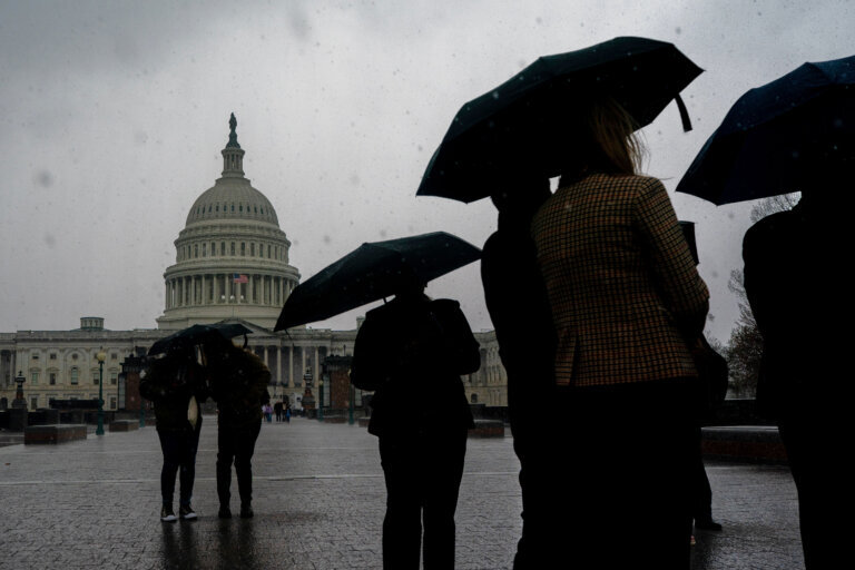
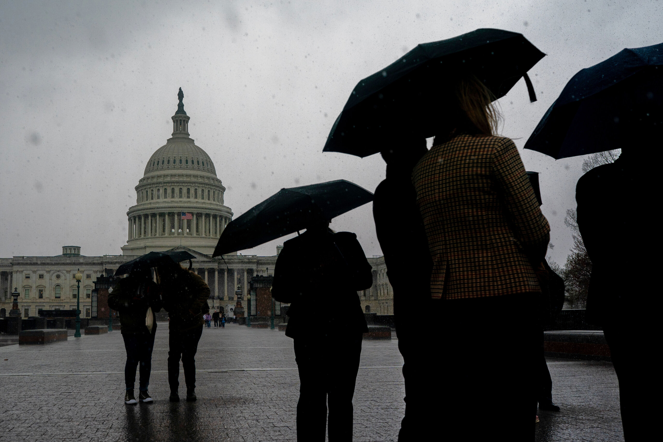
Easter Sunday is expected to get chilly as a strong cold front moves in from the west.
It comes after rain showers poured into the D.C. region during the late morning and early afternoon hours.
7News First Alert Meteorologist Matt Ritter said temperatures will steadily fall and by dinnertime, it could be as much as 15 degrees cooler than earlier.
He said the rain should taper off during the afternoon Sunday.
“It will be clear, brisk and chilly by overnight tonight,” Ritter said.
Monday will be breezy with near-average temperatures. Ritter said another cold front moves through Tuesday, setting up unseasonably cool weather for Wednesday. Some rural areas could dip to freezing.
Temperatures moderate by the end of the workweek, though widespread rain looks unlikely for a while.
- Listen to WTOP online and on the radio at 103.5 FM or 107.7 FM.
- Current traffic conditions
- Weather forecast
- Closings and Delays: DC-area schools make decisions for Monday instruction
- Sign up for WTOP email alerts
- Get custom alerts with the WTOP app for Apple and Android phones
Full forecast
SUNDAY NIGHT:
Partly cloudy, breezy
Lows: 38-42
Winds: Northwest 5-15 mph; Gusts: 20-25 mph
Skies will quickly clear out as a cooler air mass filters in.
MONDAY:
Lingering showers end, mostly to partly sunny
Highs: 50s
Winds: Northwest 10-20 mph
Early morning showers will taper off from west to east before sunrise and give way to sunny skies and a return to seasonable temperatures.
TUESDAY:
Mostly sunny
Highs: 55-60
Winds: Northwest 10-15 mph
Cooler temperatures settle in as high pressure moves in. Temperatures could get close to freezing early for areas north and west of the Beltway.
WEDNESDAY:
Sunny, breezy
Highs: 50-55
Winds: Northwest 5-15 mph; Gusts: 20-25 mph
Sunny and cooler conditions continue.
THURSDAY:
Partly cloudy
Highs: 60-65
Winds: Southeast 5-10 mph
Seasonable temperatures return under a mix of sun and clouds.