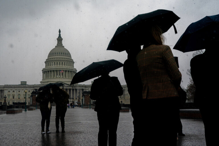
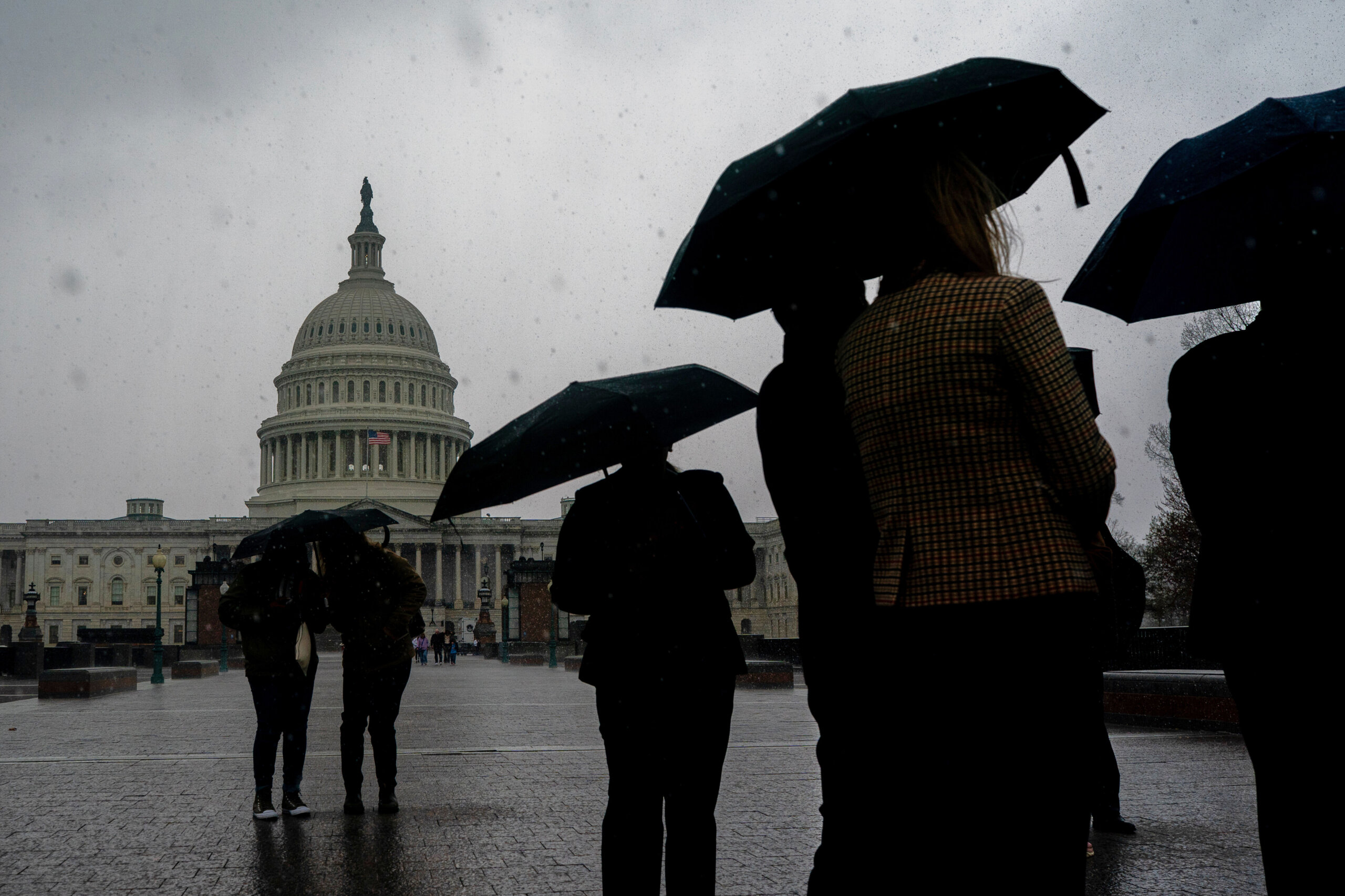
Blue skies have appeared after hours of slushy snowfall across the D.C. region Thursday created quite the switch-up from the recent stretch of warm temperatures.
Less than 24 hours ago, record-breaking highs reached the mid-80s in the D.C. area.
A powerful cold front has rapidly flipped the script. Temperatures have plummeted roughly 50 degrees and a wintry weather system brought snow and high winds near 30 mph.
Rain showers changed over to snowfall Thursday, leaving behind about an inch or so of snow, mostly on grassy areas and side streets.
Already, sunshine is peaking through the clouds and much of the snow has melted away.
“Skies remain clear through tonight and temperatures continue to hover near freezing, so be mindful of some slick spots on your Friday morning drive,” 7News First Alert Meteorologist Mark Peña said.
In Montgomery County, Maryland, about 1.2 inches of snowfall was measured around 1:45 p.m., according to the National Weather Service.
An inch of snow accumulated in Herndon, Virginia, by 1:30 p.m.
Some areas saw less snowfall — about half an inch of snow was measured at Dulles International Airport at 2 p.m.

Gusty northwest winds have pushed a colder air mass into the region, dropping temperatures into the 30s Thursday afternoon.
Overnight temperatures will fall below freezing across much of the area and the wind will make temperatures feel like they’re in the 20s.
Any leftover moisture or puddles could refreeze, creating isolated slick spots early Friday morning.
The weather calms down by the end of the week, though the wind will stick around.
Gusts could reach up to 40 mph Friday afternoon with highs returning to the mid- to upper 50s.
The weekend starts mild and dry Saturday, before the next chance of showers moves in late Sunday.
- Listen to WTOP online and on the radio at 103.5 FM or 107.7 FM.
- Current traffic conditions
- Weather forecast
- Closings and Delays: DC-area schools make decisions for Monday instruction
- Sign up for WTOP email alerts
- Get custom alerts with the WTOP app for Apple and Android phones
FORECAST
THURSDAY NIGHT: Mainly clear and cold
Lows: 30-33 with wind chills between 20 and 25
Winds: NW to SW 5 mph
FRIDAY: Partly cloudy and windy
Highs: 55-60
Winds: Southwest 10-20 mph with gusts around 30-40 mph
SATURDAY: Partly cloudy
Highs: 55-64
Winds: West 5-10 mph
SUNDAY: Mostly cloudy
Highs: 56-63
Winds: Southeast 15-25 mph
MONDAY: Mostly cloudy with rain and thunderstorms
Highs: 64-70
Winds: Southeast to northwest 20-30 mph with gusts near 40
TUESDAY: Partly cloudy and cold
Highs: 35-40
Winds: Northwest 10-20 mph
CURRENT CONDITIONS
WTOP’s Jessica Kronzer contributed to this report.